Weekend Storm - In Depth Look - First Call
- inglisbri
- Jan 5, 2024
- 2 min read

EVENT SUMMARY
SATURDAY
Late Morning/Midday - Precipitation moves into the area in the form of snow north of Baltimore and rain south of Baltimore
Midday/Afternoon - Period of moderate to heavy snow then changes to wintry mix to rain from south to north.
Evening/Night - Rain for all areas
SUNDAY
Morning - Rain showers mixing with snow for areas north of Baltimore
EVENT SUMMARY BY MODEL OUTPUTS
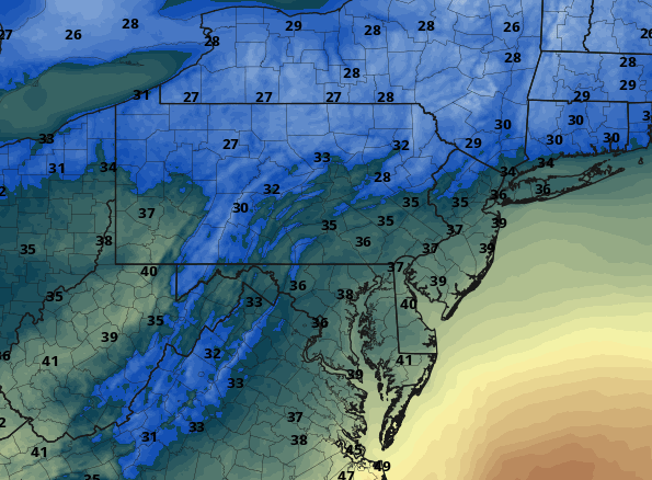
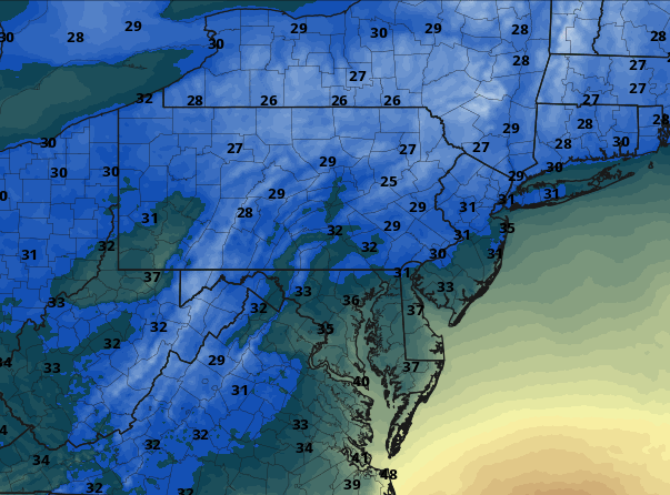
Here are temperatures at the onset of snow, 11 am. The temperatures are around or just above freezing. This leads to marginal conditions for snow to fall even at the beginning of the event.


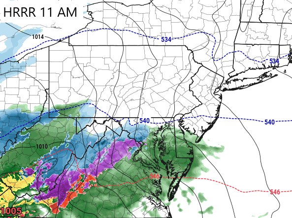
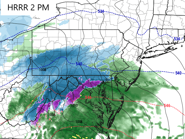
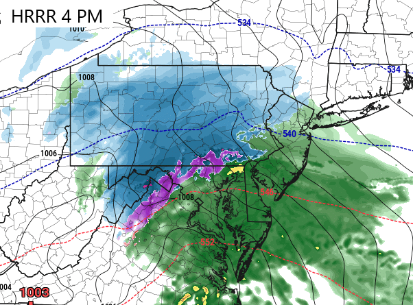
Here is how the HRRR model handles the event. This model suggests a period of snow but a quicker switchover to a mix and rain by 4 PM for northern counties of Maryland.


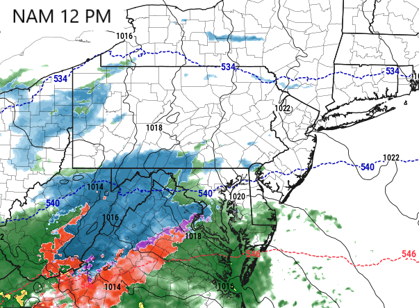
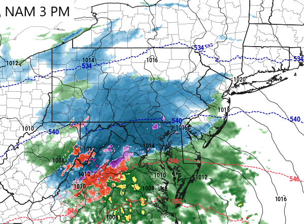
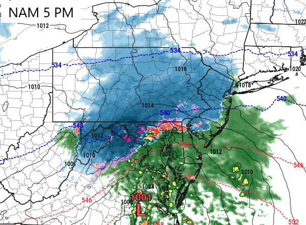
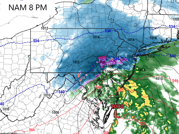
Here is how the NAM model handles the event. This model is trending colder and much more intense. According to this model the snow could stay until late evening leading to more impressive totals. However, it all depends where the snow/rain line sets up and where and if it stalls like this model predicts.


Snow Totals
Here is the GFS model and its snow total forecast. This is the only model I will show for now just to highlight the intense gradient of snow amounts across Maryland. For example, the Southeast portion of Carroll County is modelled to see an inch of snow while the northwest portion is modelled to see 8 inches. This is due to the snow/rain line and a shift of just 10 miles could be the difference between a dusting to several inches. I do think the GFS overestimates amounts here but the idea of intense snow gradient is evident and important to share.

Here is my Snowfall Forecast Map - These totals are what will have fallen before changing to rain on Saturday and does not account for any snow that may fall Sunday Morning.

My predictions are generally less compared to some of the models
CARROLL COUNTY - Snow for several hours
Westminster 1-3 inches
Taneytown 1-3 inches
Hampstead 1-3 inches
Finksburg Dusting to 2 inches
BALTIMORE COUNTY - Snow for a few hours
Towson Dusting to 1 inch
Hunt Valley Dusting to 2 inches
BALTIMORE CITY - Snow for an hour or two
Dusting to an inch
Oreland PA 1-3 inches - just a few miles north and west could see more
Brewster NY 8 - 12 inches


Comments